The World According to Cosmos
poetry and rants by the Cosmos
Menu
Close
cheating death other stories
travel writing
Home
travel log Korea and the World
more corona poems published
Reflections on Failure
Corona Ghosts
Raven Cage Publishes Poems
Poetic Rants Updated
ON THE ROAD PUBLISHED
corona virus revised
more corona virus poems
Chaos Published
Wearing a Mask Controversy
Encounters with God
Cosmos 2020 April Poetry Part Two
45 Magazine Publishes “Shape of History”
I am Writing to Let You Know
Corona Virus is Not God’s Punishment
Cosmos’s 2020 April Poetry Part One
All I Know I Learned at BHS
every day I turn on the news published
Corona Virus Pandemic Thoughts
More Love Poems
More Short Cosmos Poems
Spill words Publishes Rambling Man
Two Drops of Ink Publishes Recent Poems
Synchronized Chaos Publishes New Poems
Ink Pantry Publishes Recent Poems
Scarlet Leaf to Publish Recent Poems
More Down in the Dirt News
Evil Computer Rants
cosmos’s 2019 play list
Snarling Cup of Coffee
poetry super highway free chapbook
publication updates
Friends
Client Portal
Subscribe
Log in
Tag:
mountains
Korean Stream Bed Parks
korea
,
POD CAST
,
travelogue
·
6/3/2021
Manisan
korea
,
travelogue
·
6/3/2021
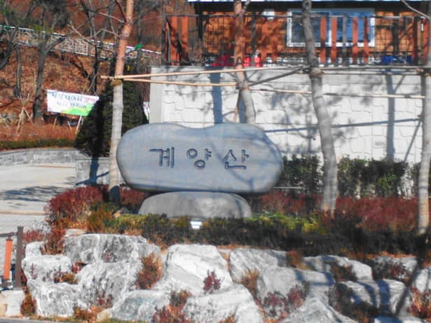
Gyeansan Mountain is a Great Hike
korea
,
travelogue
·
3/31/2019
Subscribe
Loading Comments...
Write a Comment...
Email (Required)
Name (Required)
Website